
The Energylandia map isn’t just a static image—it’s fully interactive and available both on the official website and through the park’s mobile app. You can zoom in on attractions, tap icons for more details, and quickly find your location while you’re on-site. It’s a great tool for navigating the park in real time, especially if you're planning to move between zones or find the nearest food court, toilet, or ride entrance.
To make things simple, the map uses clear color-coding for each themed area of the park. For example, the Extreme Zone is marked in red, the Family Zone in blue, the Water Park in turquoise, and the Kids’ Zones in yellow or orange. This makes it easy to spot the types of rides and experiences available in each area at a glance—perfect for families looking to focus on a specific type of attraction.
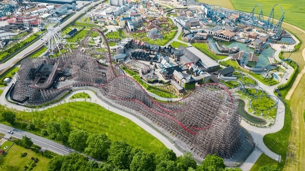
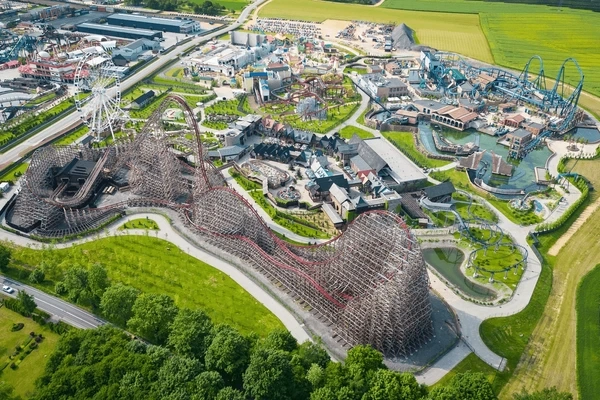
With over 70 hectares and dozens of rides, shows, and restaurants, Energylandia can feel huge. The map helps visitors make the most of their time by showing not just where things are, but how to move efficiently between them. You can plan a smart route that avoids backtracking and long walks, or make a strategy to visit popular rides early before queues build up.
Beyond rides, the map also shows practical essentials—like toilets, baby changing stations, medical points, dining options, lockers, and souvenir shops. These icons are clearly marked and easy to spot, helping you spend less time searching and more time enjoying the park. Whether you're chasing thrills or just need a snack break, the map keeps everything within easy reach.
